
CONSTRUCTION
CORE FEATURES:
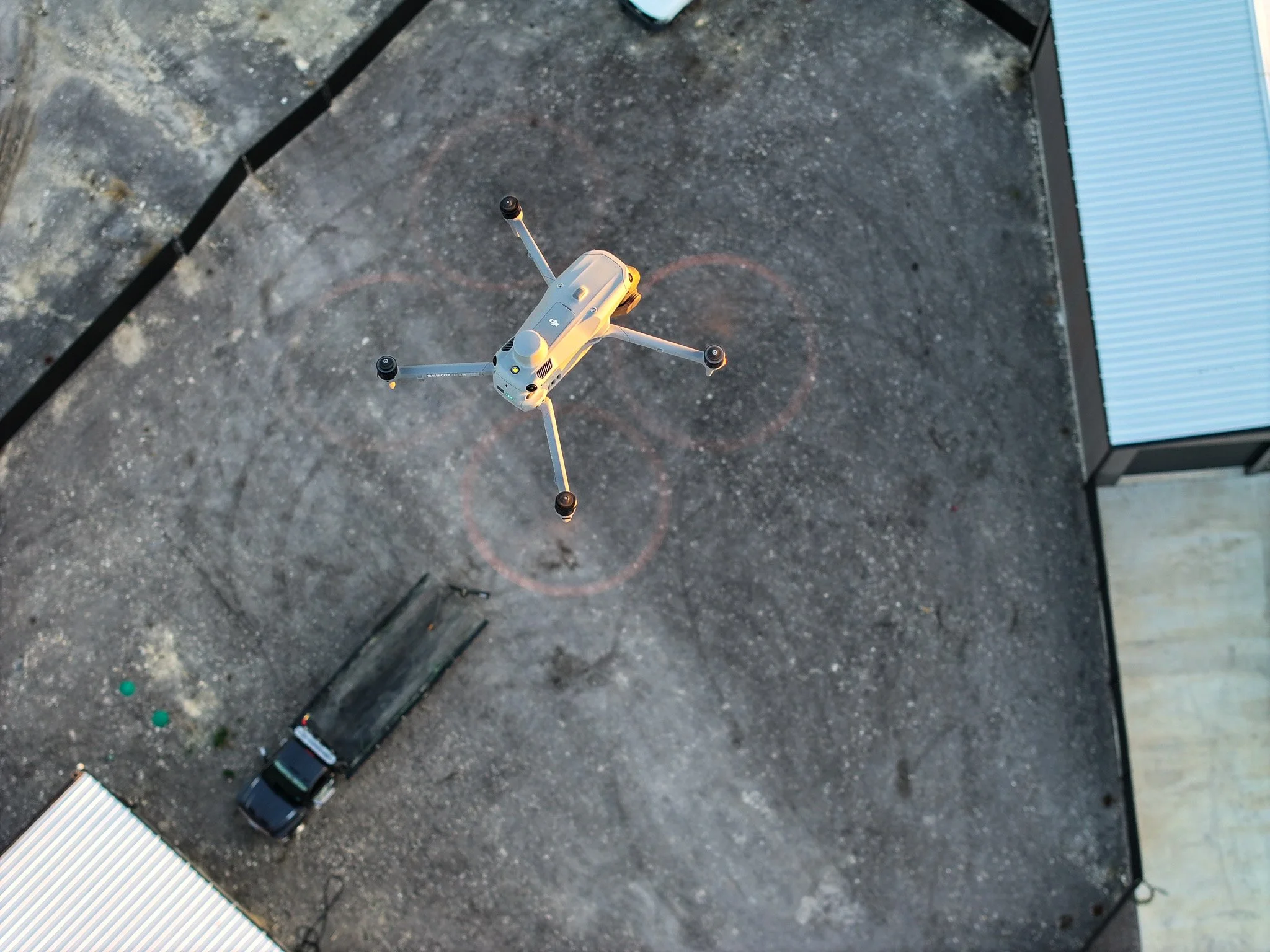
Roof & Site Inspections By Professionals
As-Built Progress Reporting
Volume and Stockpile Calculations
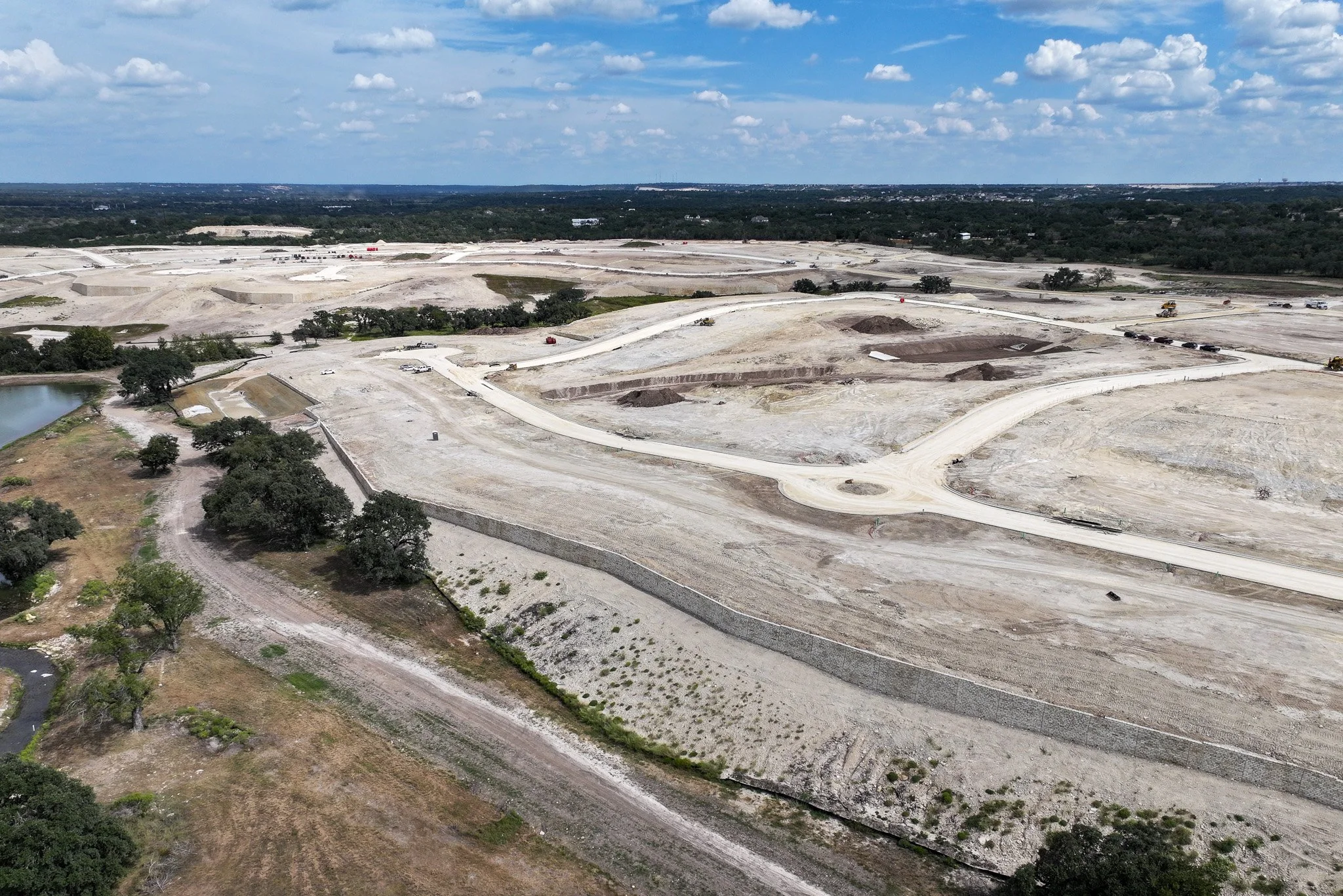
Land Acquisition-Development Documentation
Thermal Imaging
Explore more details about our construction services below.
Sample inspection report item. Our deliverables include clear location pins and timestamps, making it easy to identify deficiencies and track changes over time. The interactive images allow you to zoom in on details.
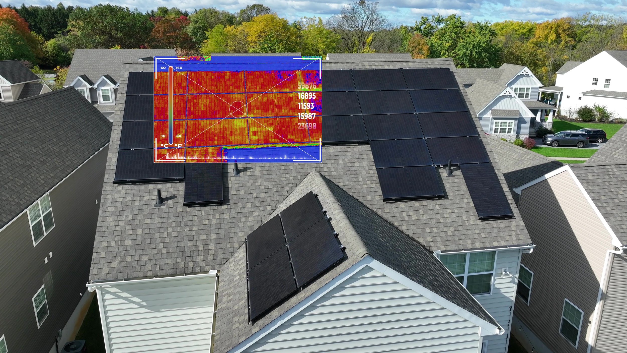
Thermal imaging overlay with high-low recordings and pin-point temperature.
-
Cadence Aerial provides professional roof and site inspections using drone-based data collection to safely document conditions that are difficult, time-consuming, or unsafe to access on foot. Our inspection approach is informed by decades of combined experience in construction, inspections, and field operations, allowing us to capture imagery and observations that align with real-world inspection priorities rather than just visual coverage.
High-resolution aerial imagery is used to document roofing systems, exterior conditions, and surrounding site context with consistent, repeatable views. These inspections support quality assurance, condition documentation, and project verification by providing clear visual records that can be reviewed remotely, shared with stakeholders, and referenced over time. By combining experienced inspection judgment with modern drone technology, Cadence Aerial delivers practical, reliable documentation that supports informed decision-making across construction and property management workflows.
-
As-built progress reporting provides a clear, verifiable record of how construction and site features take shape over time. Cadence Aerial uses structured drone capture methods to document completed work, active construction, and evolving site conditions in a way that supports comparison against plans, schedules, and prior site states.
Data collection is designed around consistency and repeatability, with custom waypoint missions capturing the same views and oblique angles at each reporting interval. Deliverables may include interactive, georeferenced reports as well as orthomosaic imagery and two-dimensional and three-dimensional mapping products that reflect current conditions. These outputs support coordination, remote review, and long-term documentation by providing an accurate visual and spatial record of the built environment at each stage of the project lifecycle.
-
LiDAR-based stockpile scanning provides an accurate and efficient way to measure material quantities across active construction sites. Cadence Aerial uses aerial LiDAR to capture high-density three-dimensional data of stockpiles, creating precise surface models that can be used to calculate material volumes without disrupting site operations or requiring ground measurements.
These volumetric measurements support construction planning, material tracking, and verification by delivering consistent, repeatable results that can be compared over time. LiDAR scanning reduces safety risks associated with climbing or traversing stockpiles, improves confidence in quantity reporting, and provides clear documentation that can be shared with project managers, suppliers, and stakeholders to support informed decision-making throughout the construction lifecycle.
-
Land acquisition and development benefit from early, accurate understanding of site conditions, terrain, and surrounding features. Cadence Aerial uses aerial imagery and LiDAR mapping to provide detailed two-dimensional and three-dimensional views of land parcels, supporting evaluation of topography, access, existing features, and overall site context—often without the need to physically visit the property.
In addition to mapping products, detailed aerial photography and video are available as standalone deliverables to support due diligence, documentation, and stakeholder review. These datasets provide clear visual insight into land characteristics and development constraints, allowing sites to be reviewed remotely and compared over time. By combining mapping and visual documentation, land and development teams gain a reliable foundation for informed planning and decision-making while minimizing time spent in the field.
-
Thermal imaging provides a non-invasive way to evaluate construction elements that are not visible through standard visual inspections. Cadence Aerial uses drone-based thermal sensors to assess building envelopes, roofing systems, and installed components by identifying temperature variations that may indicate insulation gaps, moisture intrusion, air leakage, or installation inconsistencies.
Thermal inspections are also used to evaluate solar arrays during construction or commissioning, helping identify underperforming panels, connection issues, or uneven heat patterns. When paired with visual imagery and georeferenced reporting, thermal data supports quality assurance, troubleshooting, and documentation by allowing conditions to be reviewed remotely and compared over time as construction progresses.
Site progress captured with precision. By using waypoint missions, we ensure consistent angles, every time. Our reporting system allows easy documentation of changes over time via a live web link.