
energy &
utilities
CORE FEATURES:
Asset Inspections and Documentation
Site and Construction Progress Reporting
LiDAR and Imagery Mapping
Vegetation Encroachment and ROW Mapping
Thermal Imaging
Explore more details about our energy and utility services below.
Aerial LiDAR data collection conducted over a power transmission load station and associated transmission lines, capturing detailed three-dimensional measurements of infrastructure, conductor geometry, and surrounding terrain. This data supports utility planning, asset documentation, and analysis by providing accurate, georeferenced measurements of complex electrical facilities and their spatial relationships.
-
Cadence Aerial uses drone technology to inspect and document the condition of critical infrastructure and industrial assets. Drones equipped with high-resolution visual, thermal, and LiDAR sensors are used to collect detailed, georeferenced data on assets such as transmission line towers, substations, oil and gas pipelines, solar energy facilities, wind turbines, bridges, rooftops, and related infrastructure. Where required, inspections can be performed using fully NDAA-compliant aircraft and sensors, supporting projects involving government agencies, regulated utilities, and security-sensitive environments.
Drone-based inspections provide consistent, repeatable documentation that supports condition assessment, maintenance planning, regulatory reporting, and long-term asset monitoring. The resulting datasets are structured to integrate with engineering, utility, and asset management workflows, creating a clear record of asset condition and surrounding context. This approach enables safer, more efficient infrastructure inspections while maintaining flexibility to meet project-specific compliance and data requirements.
-
Reporting and deliverables are provided through an interactive, web-based reporting platform designed to make inspection and mapping data easy to review, share, and reference. Each report is georeferenced, allowing imagery and observations to be viewed directly on satellite map overlays with associated geographic coordinates. This structure provides clear spatial context for every data point and supports efficient review across teams and stakeholders.
Individual images and observations can be assigned custom identifiers and labels to match client-specific workflows, asset naming conventions, or reporting standards. This flexible approach supports use cases ranging from infrastructure inspections and asset documentation to progress reporting and verification, while maintaining a consistent, organized record that can be revisited and compared over time.
-
Site and construction progress monitoring provides a consistent visual record of site conditions that can be referenced throughout the full lifecycle of a project. By capturing repeatable views over time, changes in grading, utilities, structures, and site features can be clearly documented and reviewed as work progresses. Cadence Aerial designs custom flight plans and waypoint missions to maintain consistent viewpoints, including oblique angles tailored to specific areas of interest.
Deliverables are tailored to client needs and may include interactive, web-based reports, georeferenced image sets, or aerial products such as orthomosaic maps and GeoTIFFs. These datasets create a lasting visual record that can be accessed for documentation, reviewed by remote management and stakeholders, or revisited to support verification, coordination, and historical analysis long after construction is complete.
-
Drone-based thermal imaging provides a practical way to identify temperature variations across energy and utility infrastructure that are not visible through standard visual inspections. Cadence Aerial uses thermal sensors to inspect assets such as electrical transmission and distribution equipment, substations, solar energy facilities, and related infrastructure where abnormal heat signatures may indicate performance issues or developing faults.
Thermal data is captured in a georeferenced format and paired with visual imagery to provide clear context for each observation. These datasets support condition assessment, maintenance planning, and long-term documentation by enabling assets to be reviewed remotely and compared over time. This approach reduces the need for direct physical access to energized or difficult-to-reach assets while supporting safe, efficient inspection workflows for energy and utility operations.
-
LiDAR and aerial imagery provide both two-dimensional and three-dimensional views of utility and energy infrastructure and the environments in which they operate. Cadence Aerial uses LiDAR and high-resolution imagery to map transmission and distribution corridors, substations, pipelines, and energy facilities, capturing terrain, structures, conductors, and surrounding vegetation in georeferenced datasets. This approach supports accurate documentation of right-of-way (ROW) conditions and asset geometry across large or linear project areas.
Processed datasets support vegetation encroachment assessment, access and egress mapping, terrain and topographic modeling, and corridor documentation in both 2D and 3D formats. LiDAR’s ability to capture surface detail beneath vegetation enables reliable ground modeling in heavily vegetated environments, while imagery provides visual context for mapping and reporting. Together, these products support planning, maintenance, and monitoring workflows for utilities and energy operators by delivering consistent, measurable data that can be revisited and compared over time.

Drone-based thermal imaging of a solar farm, capturing temperature variations across panels to identify performance issues, defects, and anomalies while supporting efficient inspection and maintenance planning.

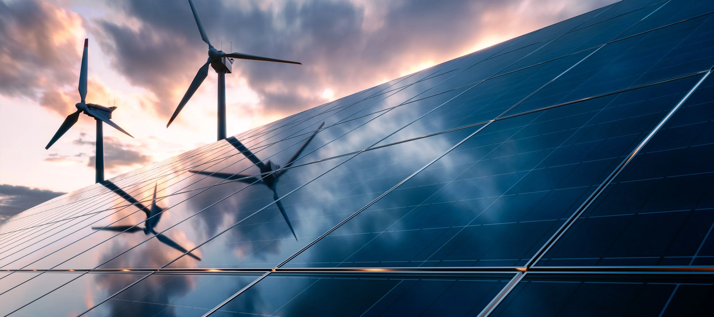
Drone-based inspection and documentation of wind turbines, capturing detailed visual data of blades, towers, and components to support condition assessment, maintenance planning, and asset documentation.