
Public
Safety
CORE FEATURES:
Search and Rescue Support (FEMA ICS Certified)
Post-Disaster Documentation and Mapping
Accident and Scene Mapping
Explore more details about our public safety solutions below.
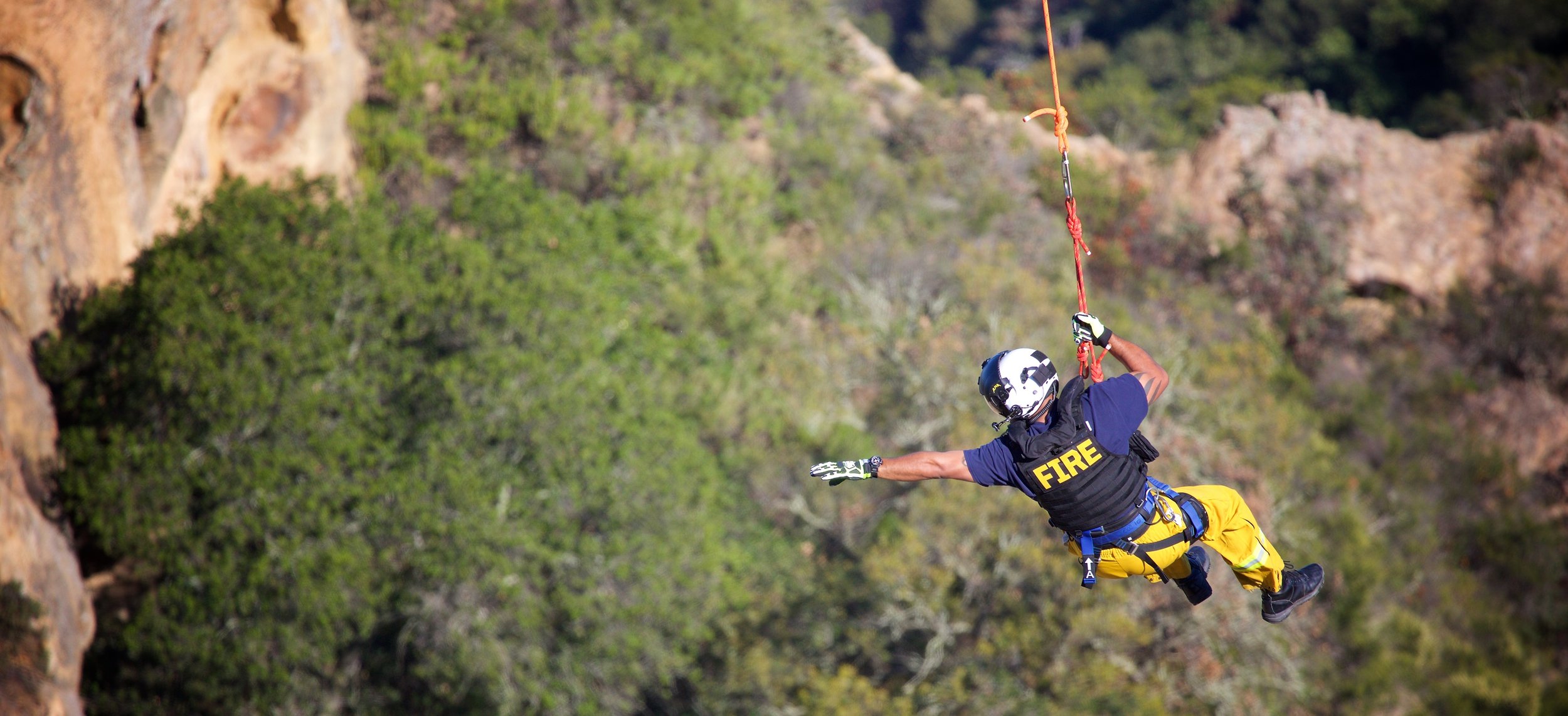
Our aerial thermal imaging is a vital tool in search and rescue (SAR) and other public safety operations. It offers faster response times, clearer imagery, and greater agility than traditional helicopters or ground teams, improving the effectiveness of emergency response efforts.
-
Search and rescue operations benefit from timely aerial visibility, accurate location context, and close coordination with responding agencies. Cadence Aerial supports search and rescue efforts by providing drone-based visual and thermal imaging to assist in locating individuals, documenting search areas, and improving situational awareness during active operations.
Our team holds FEMA Incident Command System (ICS) certifications and operates within established response frameworks, allowing us to integrate effectively with incident command and field teams. We work closely with state and regional search and rescue organizations to ensure aerial support aligns with operational objectives, safety protocols, and communication standards. This approach enables our drone operations to complement ground and air resources while supporting coordinated, efficient SAR missions.
-
Post-disaster documentation and mapping provide critical situational awareness following events such as flooding, severe storms, wildfires, or infrastructure failures. Cadence Aerial deploys water-resistant UAS platforms capable of operating in challenging weather conditions, allowing data collection to begin as soon as conditions permit. This near-immediate response supports rapid documentation of damage, access constraints, and impacted areas without placing personnel in unsafe environments.
Depending on mission needs, Cadence Aerial utilizes aerial imagery and LiDAR mapping to generate accurate two-dimensional and three-dimensional products, including orthomosaic GeoTIFFs, surface models, volumetric calculations, and condition reports. These datasets provide a reliable, georeferenced record of post-event conditions that can be reviewed remotely, shared with response agencies, and referenced throughout recovery, mitigation, and rebuilding efforts. This approach supports informed decision-making by delivering measurable, repeatable documentation during time-sensitive response operations, mate.
-
Our drones offer a highly efficient way to map vehicle collision scenes with precision and speed. Using advanced photogrammetry or LiDAR technology, drones can capture detailed, high-resolution images and create 3D models of accident sites. This allows for centimeter-level accuracy in measurements, ensuring precise documentation of the scene.
With this technology, public safety teams can quickly survey the area without disrupting traffic for long periods, providing critical data for investigations and allowing faster resolution of the incident.
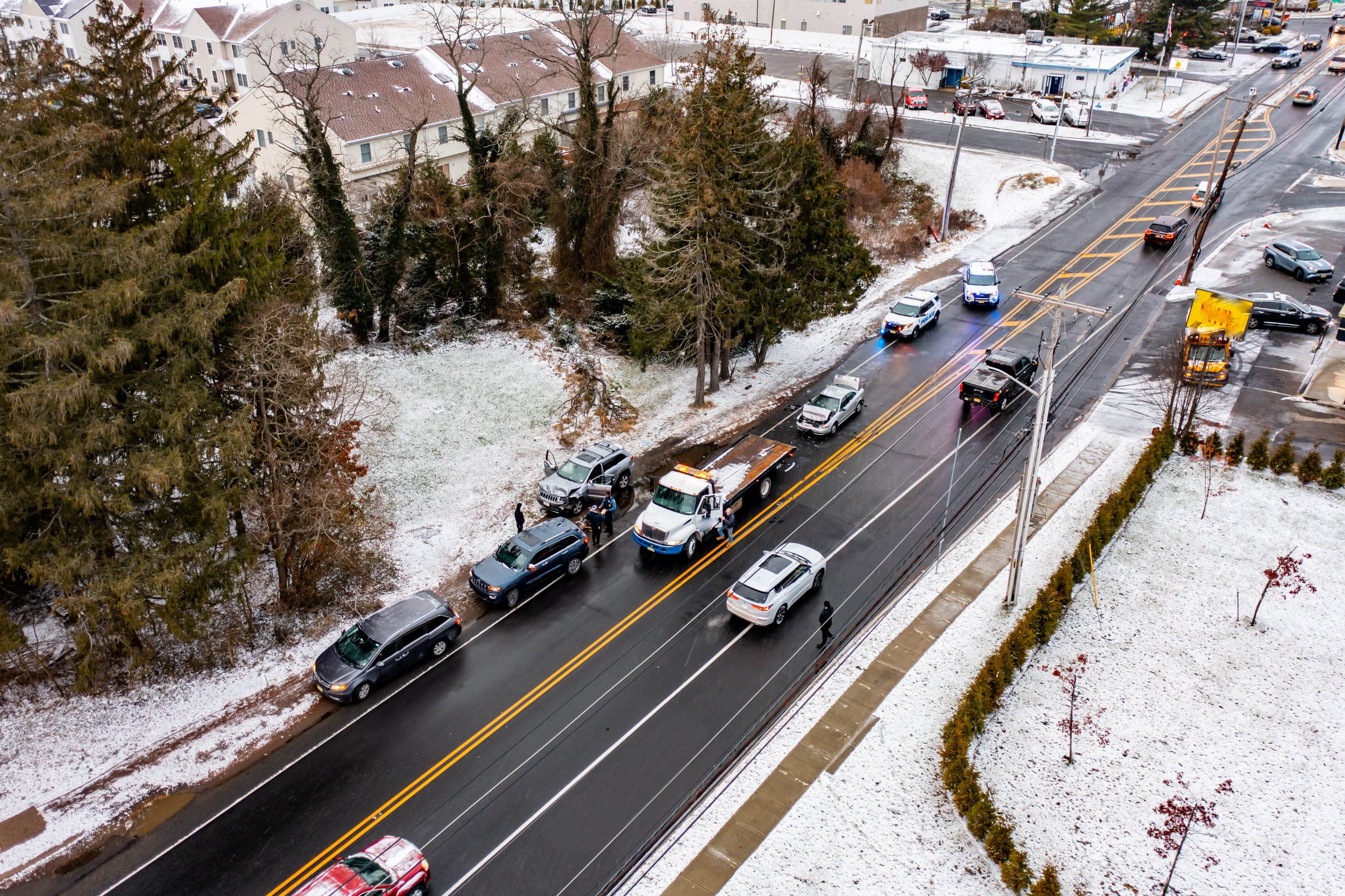
Using photogrammetry or LiDAR sensors, our drones capture vehicle collision scenes with centimeter-level precision. This advanced mapping capability allows for accurate reconstruction and detailed analysis, providing essential data for investigations and reports.
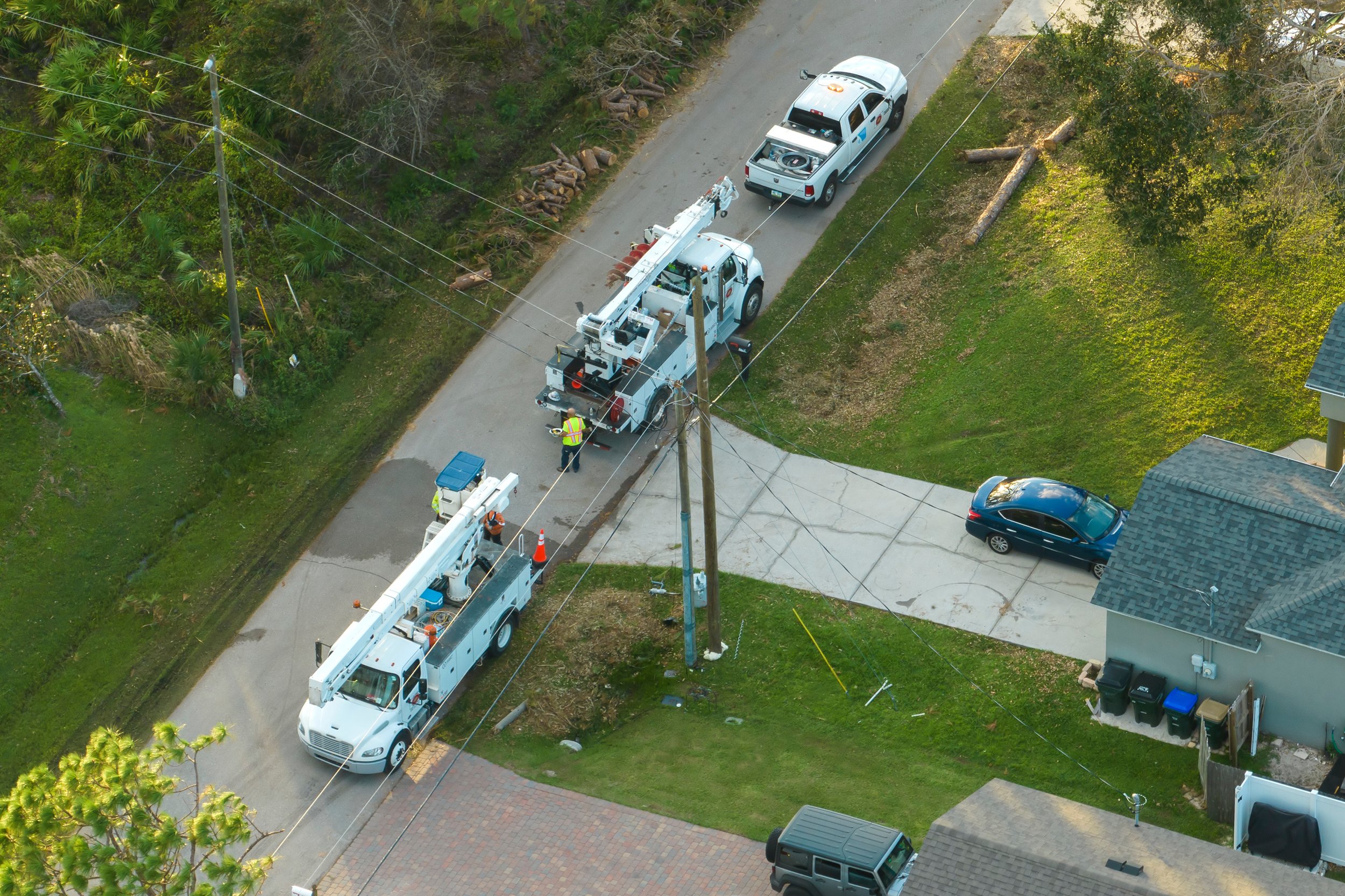
Our drone technology efficiently pinpoints damaged powerlines, fallen trees and structures allowing for rapid identification and assessment of critical areas. This capability ensures faster response times and targeted repairs, minimizing downtime and enhancing public safety.